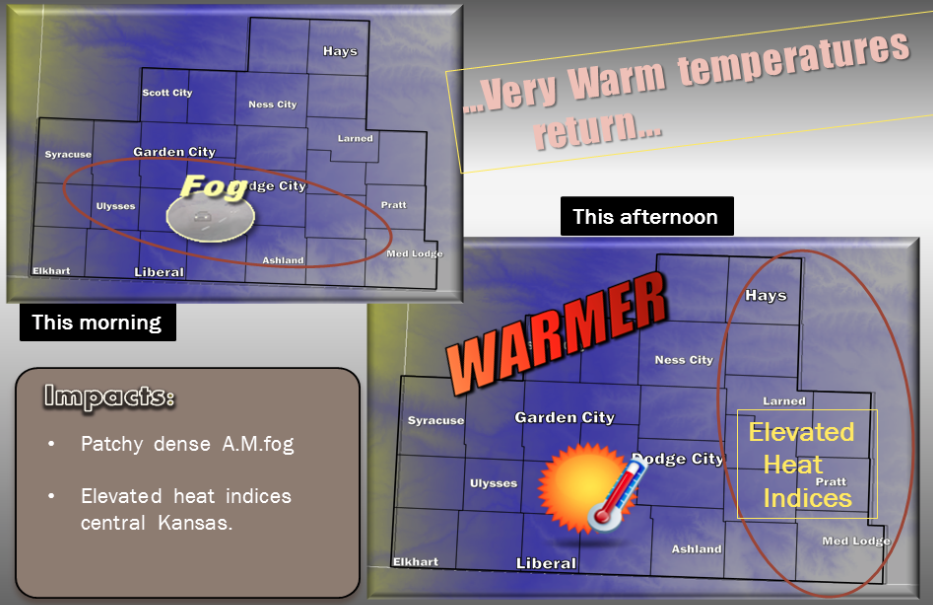
 Today Mostly sunny, with a high near 96. Southeast wind 7 to 14 mph.
Tonight Partly cloudy, with a low around 74. South southeast wind 7 to 15 mph.
Friday A 10 percent chance of showers and thunderstorms after 5pm. Sunny and hot, with a high near 102. South wind 8 to 13 mph.
Friday NightA 30 percent chance of showers and thunderstorms. Partly cloudy, with a low around 74. South wind 7 to 13 mph.
SaturdayA 30 percent chance of showers and thunderstorms, mainly after 3pm. Partly sunny, with a high near 97. South wind 6 to 13 mph.
Saturday NightA 50 percent chance of showers and thunderstorms, mainly before 4am. Mostly cloudy, with a low around 72.
SundayA 20 percent chance of showers and thunderstorms after 7am. Mostly sunny, with a high near 96.
Sunday NightA 30 percent chance of showers and thunderstorms. Mostly cloudy, with a low around 74.