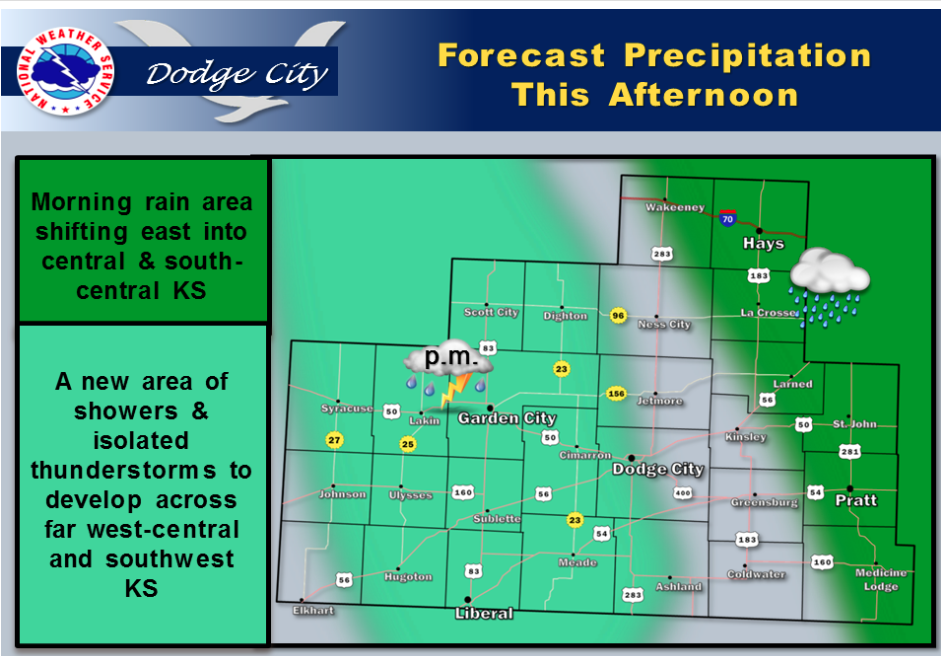
 Today Showers and possibly a thunderstorm. High near 66. Windy, with an east wind 11 to 16 mph becoming south southeast 20 to 25 mph in the afternoon. Chance of precipitation is 100%. New rainfall amounts between a half and three quarters of an inch possible.
Tonight Showers likely and possibly a thunderstorm before 11pm, then a chance of showers and thunderstorms after 11pm. Mostly cloudy, with a low around 52. South southeast wind 11 to 16 mph. Chance of precipitation is 60%. New rainfall amounts between a quarter and half of an inch possible.
FridayA 20 percent chance of showers and thunderstorms before 11am. Partly sunny, with a high near 71. South southwest wind 10 to 13 mph becoming northwest in the afternoon.
Friday NightPartly cloudy, with a low around 45. North northwest wind 8 to 10 mph.
SaturdaySunny, with a high near 66.
Saturday NightMostly clear, with a low around 41.
SundaySunny, with a high near 67.
Sunday NightPartly cloudy, with a low around 45.
MondayPartly sunny, with a high near 68.