 The National Weather Service in Dodge City is warning of potential strong storms Monday evening in western Kansas.
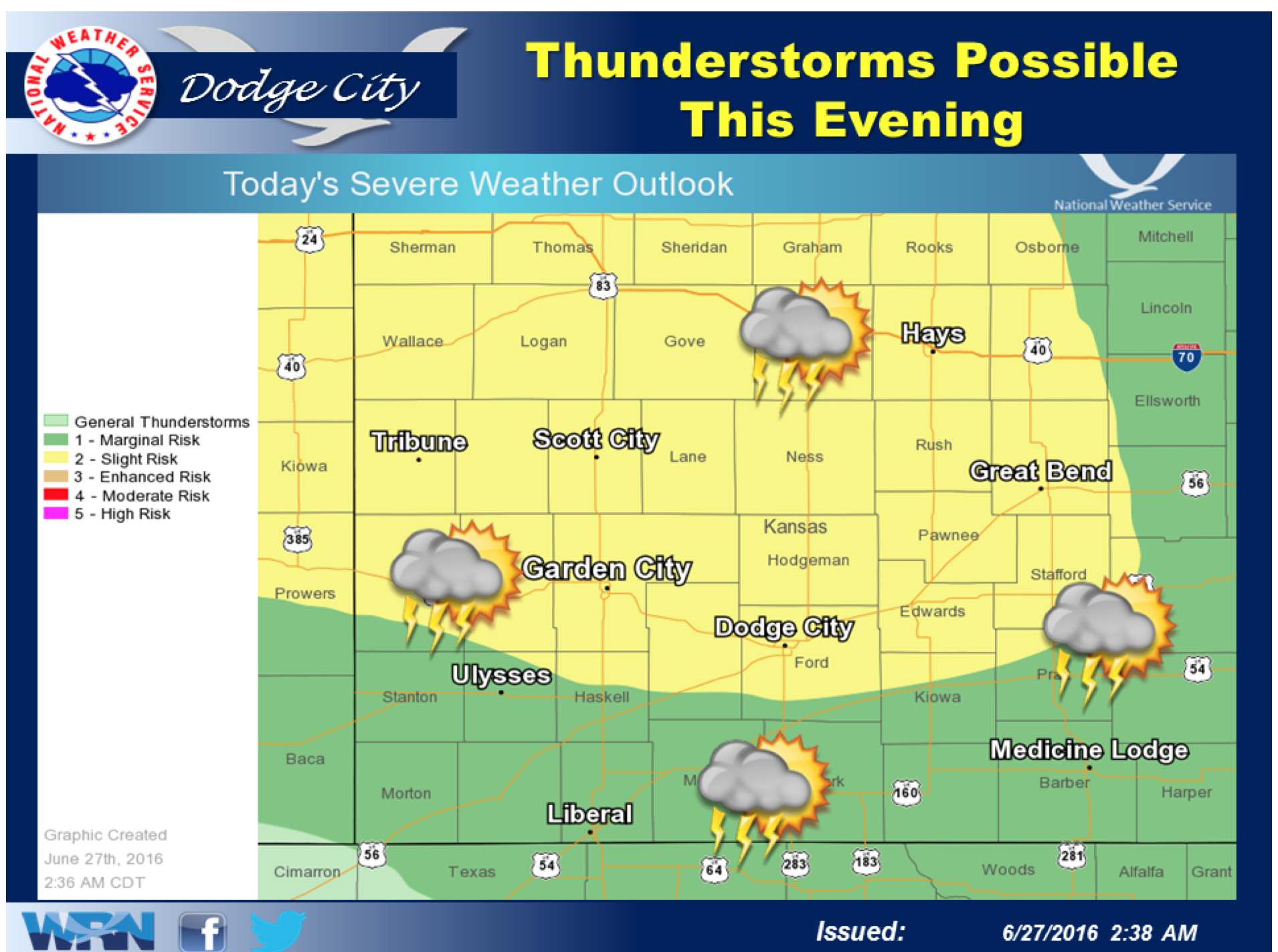
According to the NWS hazardous weather outlook, an organized cluster of thunderstorms will move southeast into western Kansas Monday evening. Northwest Kansas has the potential to be most impacted.
Threats include large hail and damaging winds up to 60 mph. There is a limited tornado risk associated with the storms.
Thunderstorms will continue to be possible Tuesday through Sunday, with ample rain expected this week. The greatest risk, at the point, is localized flooding, the NWS is predicting.
Click HERE for the complete extended forecast.
In cast of severe weather, check Hays Post and tune into Eagle Radio stations.