 An upper level ridge will build into the central plains and Midwest over the next few days, resulting in hot and mainly dry weather. Heading into Sunday, a few rain-showers in the morning, clearing off and then becoming dry and warm with temperatures reaching the upper 90’s. There is a slight chance for thunderstorms Sunday night.
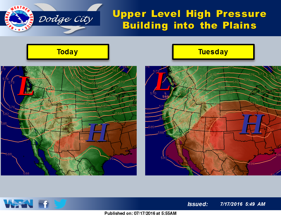
The warm front will persist in the central plains and Midwest over the next week, resulting in hot and mainly dry weather. This pattern will hold through at least Thursday with temperatures each day around 100 degrees. In dry summers, this type of weather pattern would result in temperatures well over 100 degrees. But due to the wet spring, vegetation will hold the temperatures down 5 degrees or more.
Today: Mostly sunny, with a high near 97. South wind 9 to 15 mph, with gusts as high as 25 mph.
Tonight: A 20 percent chance of showers and thunderstorms. Partly cloudy, with a low around 71. South wind 6 to 11 mph.
Monday: A 20 percent chance of showers and thunderstorms before 9am. Mostly sunny, with a high near 97. South southeast wind 7 to 16 mph.
Monday Night: Partly cloudy, with a low around 73. South southeast wind 10 to 16 mph.
Tuesday: Sunny, with a high near 97. South wind 9 to 18 mph, with gusts as high as 28 mph.