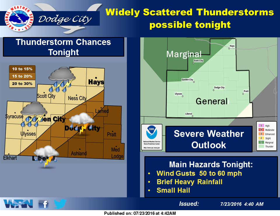
 Hot conditions over the past few days will continue across the region to start the weekend, but some relief is expected as we get into Sunday and Monday. Looking at today, afternoon high temperatures will be near 104 degrees and a Heat Advisory remains in effect until 8:00pm. Thunderstorm chances remain in the forecast through tonight, as a cool front starts to work its way through the region.
The cool front will push south into central Kansas on Sunday, with a drop in high temperatures into the mid 90’s, and around 90 on Monday and Tuesday.
Today: A chance of showers and thunderstorms before 10am, then a slight chance of showers and thunderstorms after 3pm. Mostly sunny and hot, with a high near 105. South wind 7 to 17 mph. Chance of precipitation is 40%.
Tonight: A 20 percent chance of showers and thunderstorms. Mostly cloudy, with a low around 73. South wind 7 to 17 mph.
Sunday: A 30 percent chance of showers and thunderstorms, mainly after 4pm. Mostly sunny, with a high near 96. South wind 6 to 10 mph.
Sunday Night: A 30 percent chance of showers and thunderstorms, mainly before 7pm. Mostly cloudy, with a low around 70. East northeast wind 8 to 13 mph.
Monday: Mostly sunny, with a high near 93. Northeast wind around 9 mph.