Hays got another round of precipitation Wednesday as an early evening system moved over the city at around 6:30 p.m.
The cold front brought with it a short-lived but heavy downpour, with some pea- to dime-sized hail reported.
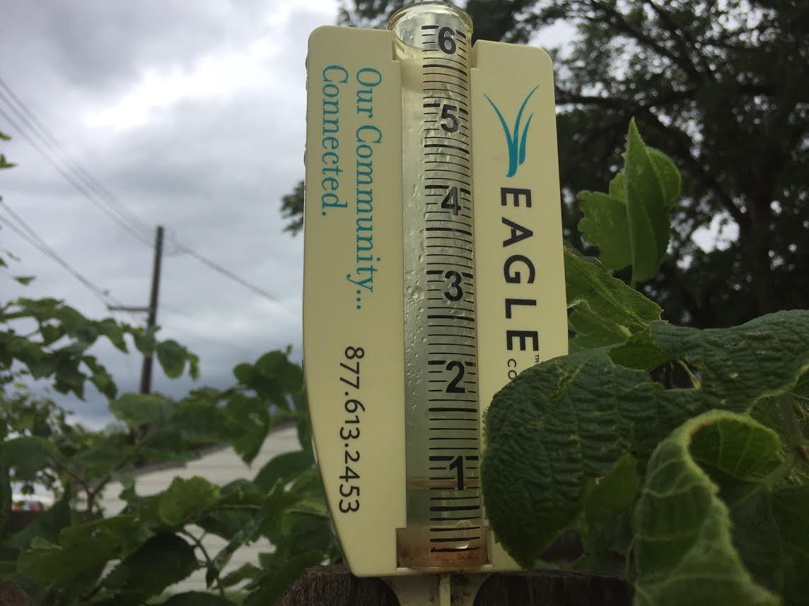
Reports ranged from 0.67 inches in the eastern portion of Hays to 0.34 inches in the west. The Eagle Media Center gauge showed 0.45 inches of precipitation.
Ellis received just 0.6 inches, while the rainfall in Victoria was reported at just less than a tenth of an inch. There was a report near Walker of 0.35 inches.
Area of Trego and Russell counties also received up to two-tenths.
Thursday brings another chance for more showers and thunderstorms, and there is at least a slight chance of more rain throughout the weekend.
Click below for the complete extended forecast.
https://www.hayspost.com/2017/08/10/cloudy-warm-thursday-with-a-chance-for-thunderstorms/