 NWS-DODGE CITY
URGENT – WINTER WEATHER MESSAGE
National Weather Service Dodge City KS
121 PM CST Tue Dec 26 2017
Trego-Ellis-Scott-Lane-Ness-Rush-Hamilton-Kearny-Finney-Hodgeman-Pawnee-Gray-Ford-Edwards
Including the cities of WaKeeney, Pfeifer, Hays, Scott City, Scott State Lake, Dighton, Ness City, Lacrosse, Syracuse, Lakin, Deerfield, Garden City, Jetmore, Hanston, Larned, Cimarron, Montezuma, Dodge City, Kinsley, and Lewis

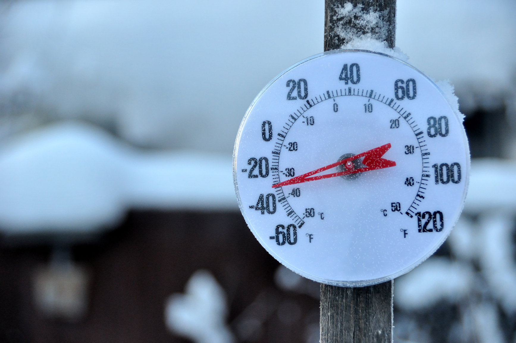
WIND CHILL ADVISORY IN EFFECT FROM 10 PM CST /9 PM MST/ THIS EVENING TO 10 AM CST /9 AM MST/ WEDNESDAY
* WHAT…Very cold wind chills expected. The cold wind chills will cause frostbite in as little as 30 minutes to exposed skin. Expect wind chills to range from 10 below zero to 20 below zero.
* WHERE…Portions of central Kansas, south central Kansas, southwest Kansas and west central Kansas.
* WHEN…10 PM this evening to 10 AM Wednesday.
PRECAUTIONARY/PREPAREDNESS ACTIONS…
A Wind Chill Advisory means that cold air and the wind will combine to create low wind chills. Frost bite and hypothermia can occur if precautions are not taken. Make sure you wear a hat and gloves.