UPDATE AT 9:24 p.m.: FLASH FLOOD WARNING UNTIL 3:15 A.M.
EVENT: Flash Flood Warning
ALERT:
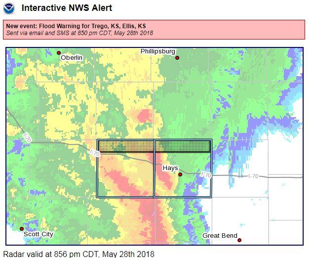
The National Weather Service in Dodge City has issued a
* Flash Flood Warning for...
Trego County in west central Kansas...
Ellis County in central Kansas...
* Until 315 AM CDT
* At 922 PM CDT, Doppler radar indicated thunderstorms producing
heavy rain across the warned area. Up to three inches of rain have
already fallen over eastern Trego county. Flash flooding is
expected to begin shortly.
* Some locations that will experience flooding include...
Hays, Ellis, Catherine, Schoenchen, Ogallah, Trego Center,
Yocemento, Cedar Bluff, Riga, Antonino, Toulon and Munjor.
INSTRUCTIONS:
Turn around, don`t drown when encountering flooded roads. Most flood
deaths occur in vehicles.
Be especially cautious at night when it is harder to recognize the
dangers of flooding.
TARGET AREA: Ellis; Trego

NWS
DODGE CITY - EVENT: Flood Warning
ALERT:
The National Weather Service in Dodge City, Ks has issued a
* Flood Warning for
The Saline River Near Wakeeney 5N.
* from late tonight to Tuesday evening.
* At  8:31 PM Monday the stage was 12.2 feet.
* Flood stage is 13.0 feet.
* Minor flooding is forecast.
* Forecast...Rise above flood stage by after midnight tonight and continue to rise to near 14.4 feet by tomorrow morning.the river
will fall below flood stage by tomorrow afternoon.
* Impact...At 15.0 feet...Expect moderate lowland flooding along the Saline River throughout northern Trego and Ellis Counties. Flood depths may reach 2 feet or more as the river nears its crest. Some roads and bridge approaches near the river will be impassable.

* * Flood history...This crest compares to a previous crest of 15.5 feet on May 24 2016.
TARGET AREA: Ellis; Trego