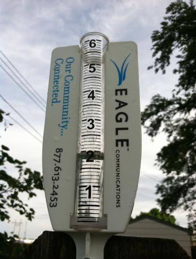
Preceded by a dust storm in areas of town and high-winds, a fast-moving storm dumped more than 2.5 inches of rain in area of Hays starting Tuesday evening.
Most of Ellis County reported rain total in excess of 2 inches, with the most significant report from Hays at 2.57 inches.
Trego County has a report near WaKeeney of 3.07 inches, with most of the county reporting in excess of 2 inches of rain in the gauge.
Russell County also had significant precipitation from the storm, which came in two waves as the evening progressed, with a report of 2.52 inches in the northwest part of the county.
Smith County reported the highest rain totals in the area, with more than 4 inches in the gauge Wednesday morning.
Scott County, which is recovering from serious flooding from Tuesday’s storm, had reports of 4.42 inches.
Skies are expected to clear Wednesday and temperatures are predicted to dip significantly after an extended hot spell. The high Wednesday through Friday will be in the low- to mid-80s, according to the National Weather Service.
Click HERE for the complete expanded forecast.
