
UPDATE 8:23 p.m.: The tornado threat appears to have passed Tuesday after storms barreled through portion of Ellis, Trego and Russell counties.
A severe thunderstorm watch remains in effect until 9 p.m. Tuesday for Ellis, Rush, Lane, Scott, Ness and Trego counties.
—————
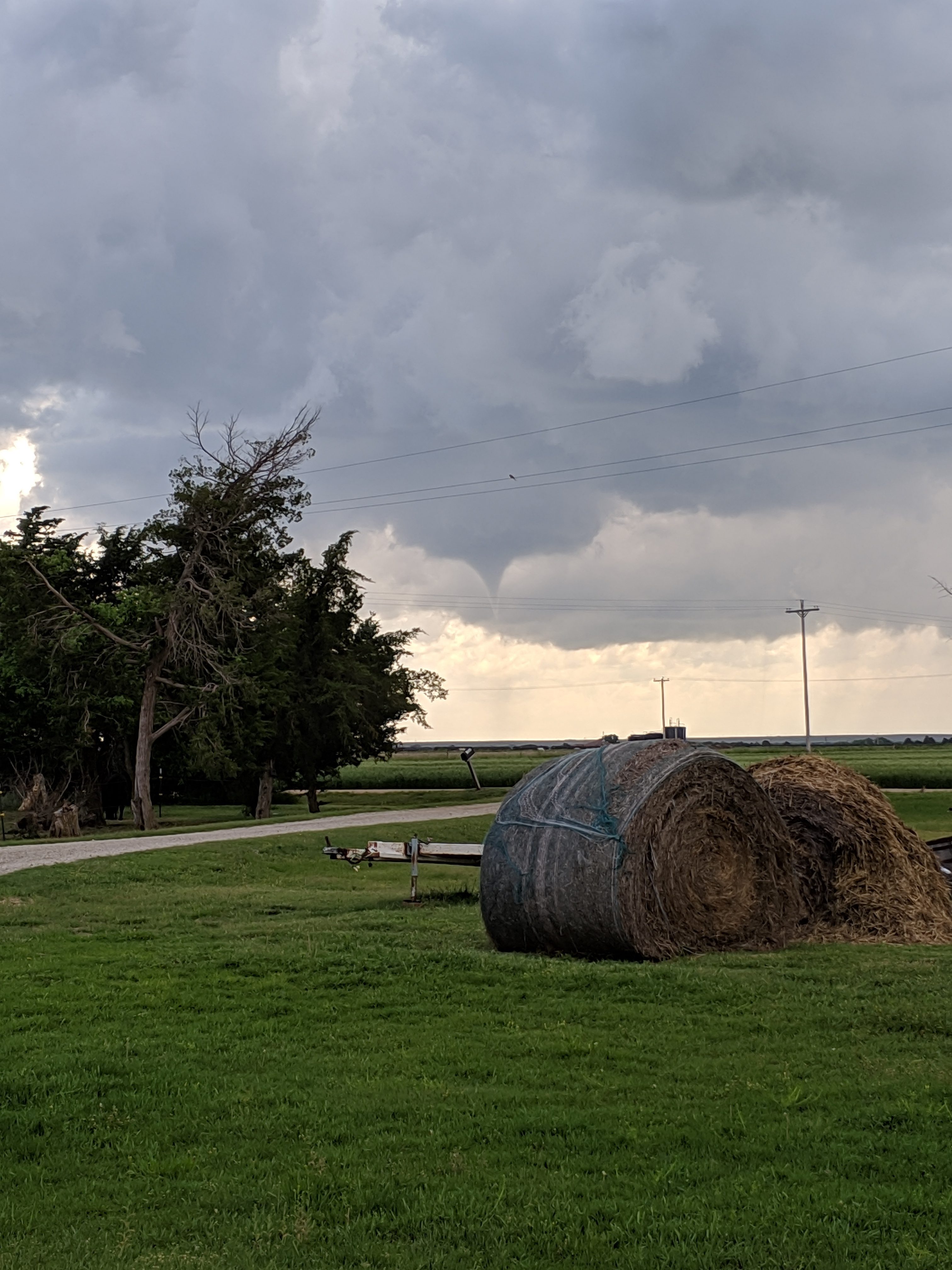
UPDATE 6:46 p.m. Tuesday: There is a spotter-confirmed funnel cloud on the ground near Feedlot Road and Yocemento.
Tune into Eagle Radio of Hays for the latest on severe weather in the area.
—————–
UPDATE 6:30 p.m. Tuesday: The National Weather Service in Dodge City has issued a tornado warning for northeastern Trego County and northwestern Ellis County in central Kansas until 7 p.m. At 6:21 p.m., a severe thunderstorm capable of producing a tornado was located near Riga, moving east at 40 mph.
Hazards include tennis ball size hail, flying debris, and damage to roofs, windows and vehicles
The storm will be near Ellis around 6:25 p.m.
A severe thunderstorm warning remains in effect until 7:15 p.m. in Ellis County.
———————–
The National Weather Service has issued a tornado warning for Ellis County. The warning remains in effect until 5 p.m. Tuesday.
Just after 4 p.m., a thunderstorm quickly cropped up southwest of Hays, and there were reports of multiple funnel clouds south of Hays. Those funnel clouds dissipated quickly, according to reports, as the storm moved northwest through Ellis County.
The NWS also has issued a severe thunderstorm watch until 9 p.m. Tuesday for Ellis, Rush, Lane, Scott, Ness and Trego counties.
Tune into Eagle Radio of Hays for the latest in case of severe weather.


