
SUBMITTED
PLAINVILLE – The city of Plainville will host the “Remembering Our Fallen” national tribute to post-9/11 military this weekend in Andreson Memorial Park.
Remembering Our Fallen is a photographic war memorial that honors our country’s military Fallen from The War on Terror (9/11/2001 – Present). Unlike brick and mortar memorials, Remembering Our Fallen is designed to travel and includes both military and personal photos. Its legacy will be that these men and women will be remembered and their names will be spoken, while helping to lessen the grief of their families.
The tribute towers will be escorted into Plainville Thursday afternoon by the Hays American Legion Riders. The towers will assembled and remain up and illuminated through Sunday afternoon.
Opening ceremony is at 10:30 a.m. Fri., Oct. 18 with a welcome by Mayor Quentin Meyers.
Guest speakers include Brigadier General David Weishaar, Kansas National Guard, Col. Thomas O’Connor, Jr., Fort Riley, and Gold Star Mom Noala Fritz.
Also participating in the ceremony will be the Fort Riley First Infantry Division Color Guard and Band.
Rooks County students will perform “America the Beautiful.”
Following the playing of “Taps,” roll call of the names of 5,000 fallen heroes depicted on the towers will be read by Plainville USD 270 high school students and other volunteers.
Gold Star families will meet with their pen pal classes from Rooks County and enjoy a luncheon with Fort Riley leadership, Brigadier General Weishaar and other dignitaries.
Guided or self-viewing of the towers begins at 11:30 a.m.
On Friday, the Kansas National Guard will have a static display.
A concert will be held in the park at 2 p.m. Saturday with Roger Cooper followed by The Three Jacks.
The closing ceremony is at 4 p.m. Sunday.
There will be parking by the schools along Cardinal Ave. and Auction City Limits on the south edge of town with a shuttle service.
The event is sponsored by the Plainville Ambassador Club with the support of citizens in Rooks County and northwest Kansas.


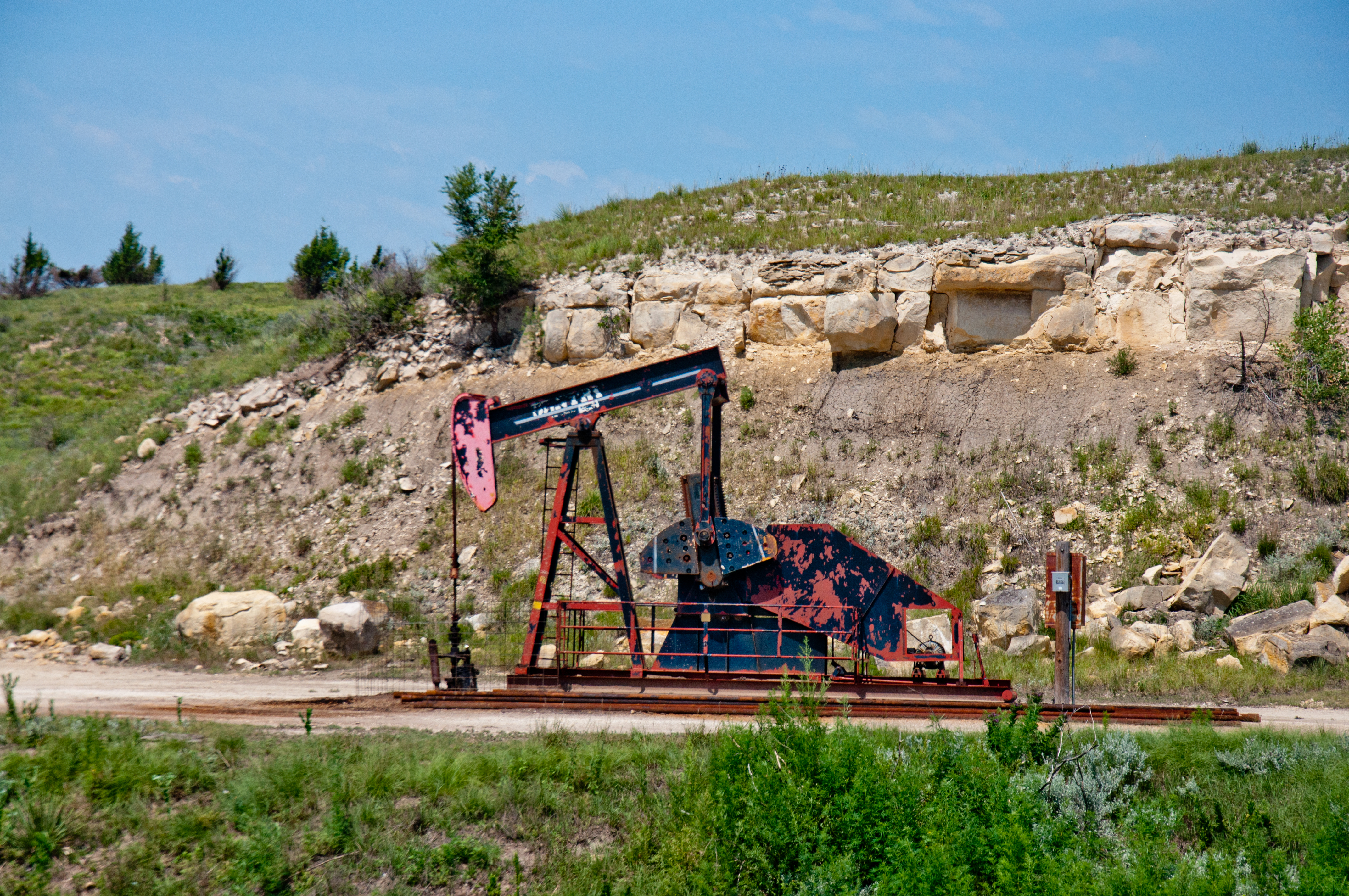

 The series includes 12 regional maps, each covering about 90-by-55 miles and named for cities within its perimeters, including Wichita, Dodge City, Goodland, and Lawrence. Oil and gas field locations and names as well as geographic names and boundaries are shown on the maps. All 7,818 field locations also appear on a revised wall-sized map of the entire state.
 Kansas became a significant oil-producing state with the discovery of the El Dorado field northeast of Wichita in 1915. The maps illustrate that a bulk of the subsequent oil-producing fields stretch from south-central Kansas to northwest of Hays along the Central Kansas Uplift, a subsurface geologic structure. Ellis County, which includes Hays, has been the state’s top producing county in all but three of the last 52 years.
 “During the boom in south-central Kansas, more than 700 wells were drilled in a tier of counties just north of the Oklahoma state line between 2013 and 2015,” said Dave Newell, KGS geologist. “Both oil and natural gas production in the area escalated rapidly.”