
UPDATE 8:30 p.m. – The tornado warning for Rooks County has been allowed to expire. A warning continues for central Osborne County until 8:45 p.m. A radar indicated tornado was reported at 8:08 p.m. 10 miles northeast of Natoma moving east at 45 mph.
UPDATE 7:45 p.m. – The NWS has issued a tornado warning for western Osborne and southeastern Rooks Counties until 8:15 p.m.
UPDATE 7:30 p.m. – According to the NWS the tornado warning for Ellis County will expire at 7:30 p.m. The tornadic thunderstorm which prompted the warning is moving out of Ellis County.
A tornado watch remains in effect until 10 p.m.
UPDATE 7:17 p.m. – The NWS reported a confirmed large and extremely dangerous tornado was located 5 miles southeast of Codell, or 12 miles north of Emmeram.
UPDATE 6:59 p.m. – The NWS reported a large and dangerous tornado 8 miles northwest of Cathernie moving northeast at 45 mph.
UPDATE 6:53 p.m. – The NWS has issued a tornado warning for Ellis County until 7:30 p.m. Located 8 miles northeast of Yocemento.
UPDATE 6:50 p.m. – The NWS has issued a tornado warning for western Rooks County until 7:15 p.m.
––––––––––––––
The national weather service storm prediction center has issued a tornado watch for areas of southern and western Kansas, including Ellis County.
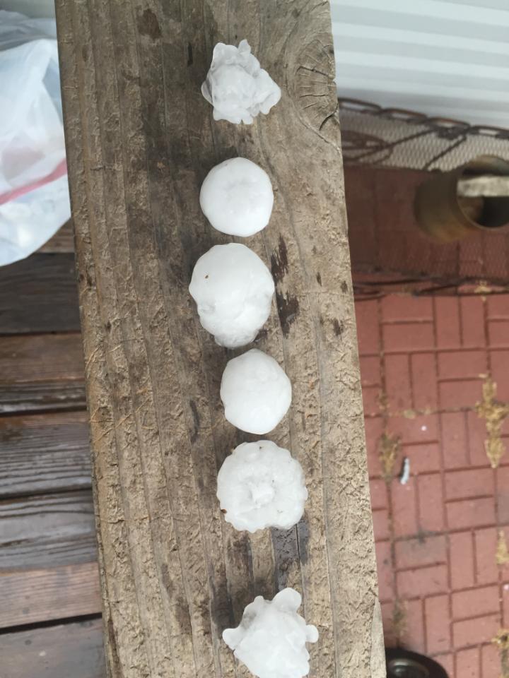
“An upper-level disturbance will push a dryline into southwest Kansas this afternoon. Severe thunderstorms will develop along and ahead of the dryline by mid-afternoon and into the evening,” according to the NWS. “The chances for very large hail up to baseball size or larger, damaging winds and isolated strong tornadoes, will be from just east and northeast of Dodge City and into much of southcentral Kansas. Most of the severe storms will be ending by around midnight.” The storms bring an elevated risk of hail, lightning and fires.
The storms bring an elevated risk of hail, lighting, and fires. Storms associated with the front are expected to develop quickly, with winds as high as 70 mph, between 3 p.m. and sunset.
A tornado watch is also in effect until 10 p.m.
For up to the minute forecasting visit the NWS here.