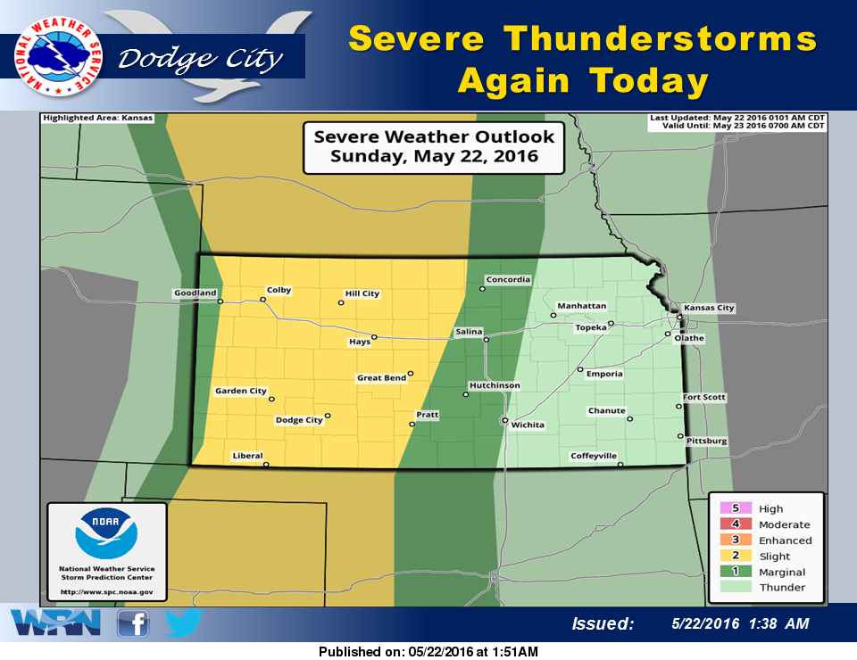
 Widely scattered showers and a few thunderstorms may develop by early afternoon across southwest Kansas, but the more significant threat of severe thunderstorms will occur during the late afternoon near a dryline just east of the Colorado border. A small number of supercells may produce large hail, torrential rain and damaging winds. A brief tornado is possible. The area of thunderstorms will move east during the evening but should weaken before midnight.
Today: A 20 percent chance of showers and thunderstorms before noon. Cloudy, then gradually becoming mostly sunny, with a high near 82. Breezy, with a south wind 16 to 23 mph.
Tonight: A 20 percent chance of showers and thunderstorms after 8pm. Increasing clouds, with a low around 61. Windy, with a south southeast wind 20 to 25 mph decreasing to 13 to 18 mph after midnight.
Monday: A slight chance of showers and thunderstorms before 11am, then a chance of showers and thunderstorms after 3pm. Cloudy, then gradually becoming mostly sunny, with a high near 82. West wind 6 to 8 mph. Chance of precipitation is 30%.
Monday Night: A 30 percent chance of showers and thunderstorms, mainly before 3am. Mostly clear during the early evening, then becoming mostly cloudy, with a low around 62. Northwest wind 7 to 10 mph becoming south southeast after midnight.
Tuesday: A 20 percent chance of showers and thunderstorms. Partly sunny, with a high near 87. South wind 8 to 11 mph.