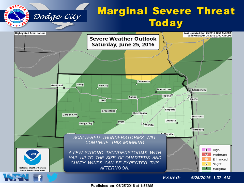
 A weak cold front will cross the region today. While there could be a brief shower or thunderstorm this morning, late afternoon thunderstorms may develop near the front, with the most intense thunderstorms producing hail and wind gusts to near 60 mph. Thunderstorms should weaken by midnight.
Temperatures on Sunday will not be much cooler, as highs will still be in the low 90s. However, the humidity will be considerably less. A stronger cool front will move through Monday night and will become stationary south and west of the region. As an upper-level disturbance moves through Tuesday night into Wednesday, this could trigger scattered thunderstorms each day.
Today: A 30 percent chance of showers and thunderstorms, mainly after 4pm. Partly sunny, with a high near 94. South southwest wind 14 to 17 mph, with gusts as high as 28 mph.
Tonight: Showers and thunderstorms likely, mainly before midnight. Some of the storms could produce heavy rain. Mostly cloudy, with a low around 67. South wind 6 to 11 mph becoming north northeast in the evening. Chance of precipitation is 70%. New rainfall amounts between a quarter and half of an inch possible.
Sunday: Partly sunny, with a high near 90. North northeast wind 6 to 10 mph becoming east in the afternoon.
Sunday Night: A 20 percent chance of showers and thunderstorms. Partly cloudy, with a low around 68. East southeast wind 5 to 10 mph becoming northeast after midnight.
Monday: A 20 percent chance of showers and thunderstorms. Mostly sunny, with a high near 93. East wind 5 to 9 mph.