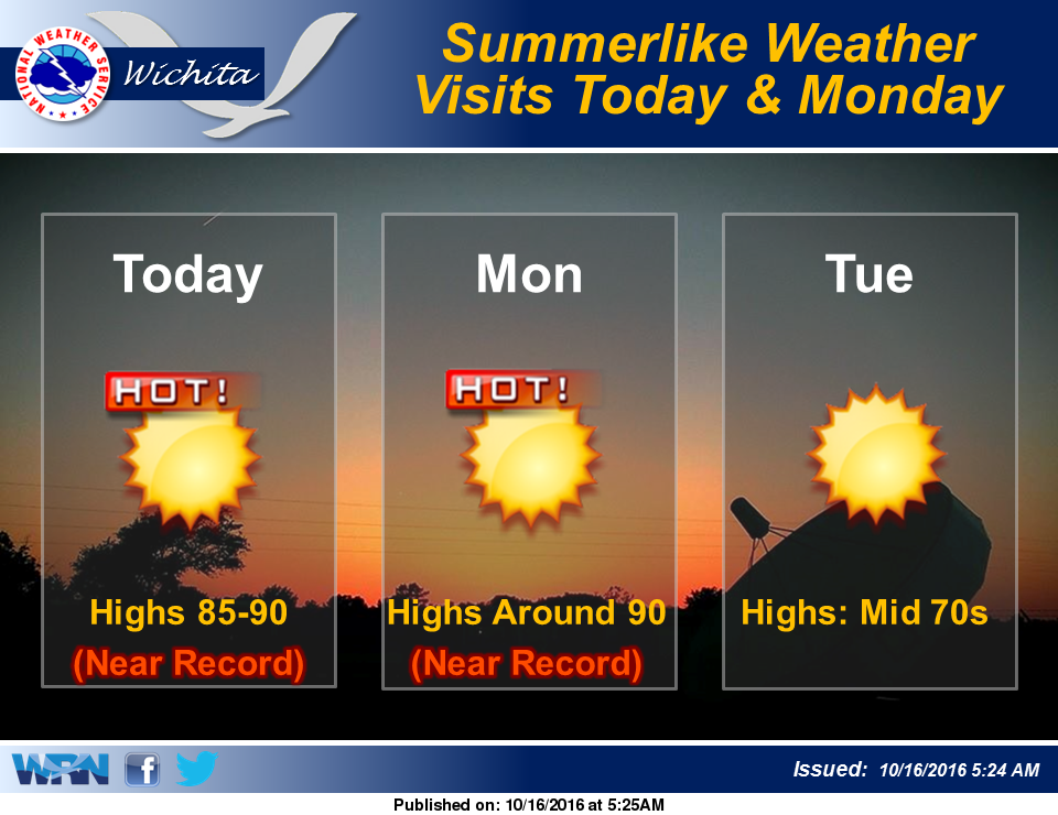
 Fog will affect much of the region this morning and a Dense Fog Advisory is in effect until 9am. Visibilities will improve by late morning and the remaining low clouds will gradually lift. Summer will then pay us a visit today and Monday with record/near record highs likely in many areas.
It won’t be nearly as warm on Tuesday as a southeast-moving cold front crosses Kansas late Monday Night and early Tuesday Morning. Clouds will increase Wednesday and bring even cooler temperatures. The coolest day of the week will be Thursday then a warming trend occuring late week.
Today: Widespread dense fog, mainly before 10am. Otherwise, mostly sunny, with a high near 87. East wind 6 to 13 mph becoming south southwest in the afternoon.
Tonight: Mostly clear, with a low around 53. South wind around 9 mph.
Monday: Sunny, with a high near 91. West southwest wind 9 to 11 mph.
Monday Night: Mostly clear, with a low around 50. North northwest wind 8 to 11 mph.
Tuesday: Sunny, with a high near 73. North wind 6 to 9 mph.