
Smoke from the massive wildfires in the western part of the country is sweeping across the United States, but meteorologists don’t expect western Kansas to see much impact.
“It may be a little hazy outside. I don’t know how significant it will be,” said Ray Burgert of the National Weather Service in Dodge City. “You’ll probably notice it most around sunsets … that sort of orange-y, red sun.”
Burgert said an upper-level ridge over western Kansas is pushing the most significant smoke north, although he said there could be hazy skies as soon as Froday afternoon.
The impact will not be nearly as noticeable as previous smoke that covered the area from far-away wildfires. In 2015, Hays was covered by a thick smog caused by wildfires in Canada, and more recently, had some hazy days as a result of wildfires in New Mexico.
Burgert added that Hays should remain dry through the weekend, but that meteorologists were watching for the development of a system to the southwest that has the chance to bring significant rain to the area on Monday or Tuesday.
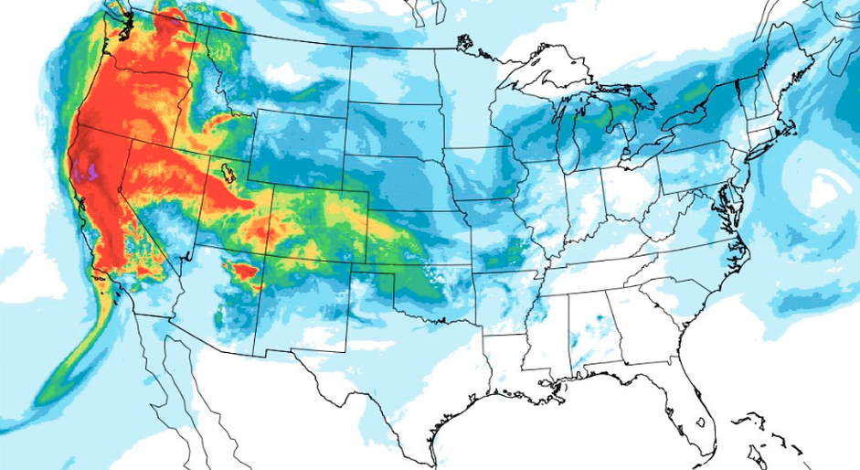
Smoke from the western fires is making it all the way to the East Coast and beyond (at least aloft–mostly above a mile above the surface). Here’s the vertically integrated smoke (HRRR model from last night). Another map showed some smoke near the surface even in New England. pic.twitter.com/0Jl6WDAFjg
— NWS San Diego (@NWSSanDiego) August 8, 2018