Today Showers and thunderstorms likely, mainly after 4pm. Mostly cloudy, with a high near 81. Light southeast wind increasing to 5 to 10 mph in the morning. Chance of precipitation is 60%. New rainfall amounts between a quarter and half of an inch possible.
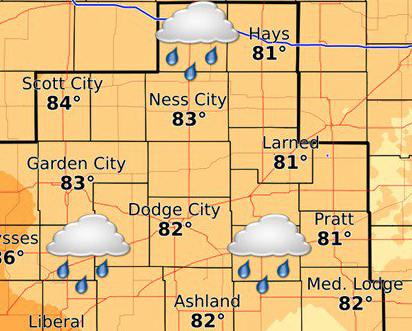
Slow moving storm system will produce multiple rounds of shower and thunderstorms beginning this morning through Tue eve. #kswx pic.twitter.com/47xpd6irkI
— NWS Dodge City (@NWSDodgeCity) August 13, 2018
Tonight Showers and thunderstorms likely before 7pm, then showers likely and possibly a thunderstorm after 7pm. Cloudy, with a low around 65. East southeast wind 5 to 7 mph becoming north northwest after midnight. Chance of precipitation is 70%. New rainfall amounts between a half and three quarters of an inch possible.
Tuesday Showers and thunderstorms. High near 79. North wind 6 to 11 mph. Chance of precipitation is 80%. New rainfall amounts between a quarter and half of an inch possible.
Tuesday Night Partly cloudy, with a low around 62. North wind 6 to 10 mph.
Wednesday Mostly sunny, with a high near 85. North wind 6 to 8 mph becoming east northeast in the afternoon.
Wednesday NightMostly clear, with a low around 65.
ThursdayMostly sunny, with a high near 90.