There has been speculation that we’re in for a great deal of snow and ice later in the week, but the fact is that it is too early to tell.
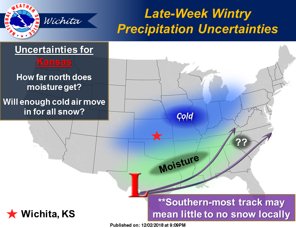
According to the National Weather Service office in Wichita, there’s a great deal of uncertainty regarding the next storm system that has the potential to impact parts of Kansas during the weekend.
“It is important not to focus on the snow, rain, or ice forecast from one model. Some forecast models show no precipitation at all, while others show a significant amount of snow and/or ice,” NWS noted. “The main takeaway at this point is to know that another winter storm may impact portions of the region by the end of the week, but what, if any, impact is felt here in Kansas remains to be seen.”
What NWS is more sure of, however, is that temperatures will be below normal this week.
According to NWS, “Temperatures will be below normal to start the week with Wednesday likely to be the warmest day this week. Unfortunately, temperatures will take a tumble again and will end the week with well below normal temperatures for this time of year.”
— Salina Post