 A weak cold front will extend across central Kansas this afternoon and tonight. Scattered thunderstorms are expected to develop later this afternoon. Thunderstorms will become more numerous across west central Kansas this evening and move into central Kansas tonight. The main thunderstorm threats will be strong winds and heavy rain.
High temperatures this afternoon will be near 90, with an overnight low of around 68. The outlook for Monday and Tuesday will continue to be hot with a chance of showers and thunderstorms.
We received .95 of an inch of rain at the Eagle Media Center from the storms overnight.
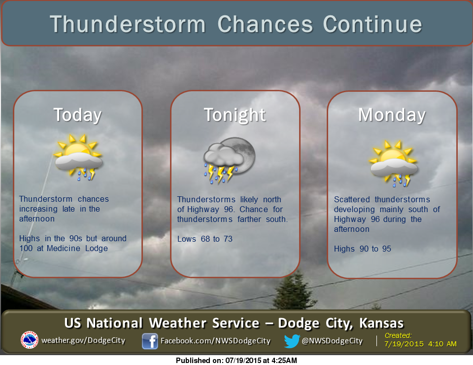
Today: A 40 percent chance of showers and thunderstorms, mainly after 4pm. Partly sunny, with a high near 90. North wind 8 to 10 mph becoming east in the afternoon.
Tonight: Showers and thunderstorms likely, mainly between midnight and 4am. Mostly cloudy, with a low around 68. East southeast wind 5 to 10 mph becoming light east after midnight. Chance of precipitation is 60%. New rainfall amounts between a quarter and half of an inch possible.
Monday: A 50 percent chance of showers and thunderstorms, mainly before noon. Partly sunny, with a high near 91. Calm wind becoming west northwest around 6 mph in the morning.
Monday Night: A 20 percent chance of showers and thunderstorms. Partly cloudy, with a low around 69.
Tuesday: A 20 percent chance of showers and thunderstorms. Partly sunny, with a high near 88. East southeast wind 6 to 11 mph.